Forestry
The Highlands Biological Station (HBS) is a mountain research facility located in the high mountain Nantahala National Forest area of southwestern North Carolina. The facility is owned and operated by Western Carolina University, and hosts a class of field site students from UNC-Chapel Hill each fall semester.
CARDNL is currently working with students at HBS throughout the semester to teach remote sensing concepts and to instruct students in drone handling. The lab is also in the process of constructing a series of high-resolution orthomosaics (true-distance aerial imagery) in both RGB color and multispectral (5-band) color in order to conduct species health assessments and to provide future field site students with a comprehensive database of local imagery.

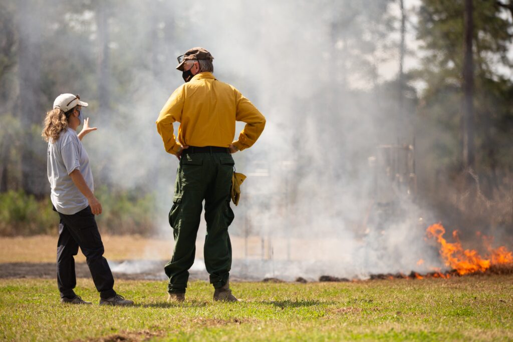
Scientists from the Environmental Protection Agency’s Research Triangle Park Office (EPA RTP) have conducted prescribed fire emissions research for many years. This research helps forest managers and air quality scientists to better understand the relationship between both predicted and unexpected forest fires, atmospheric conditions, fire fuel loads and smoke plumes.
Working with sensors developed by EPA scientists, CARDNL uses UAV platforms to get air quality sensors off the ground and inside the smoke plumes of active forest burns. The data from these flights informs forest management, predictive fire forecasting and modeling, and allows for a better understanding of the relationship between fuel load and emission signature.
CARDNL is in the process of developing a long-term monitoring plan for Eastern Hemlocks in and around North Carolina in the wake of hemlock woolly adelgid infestation.
Check back later for more!
CARDNL is collaborating with Dr. Rada Petric and the Highlands Biological Station faculty and staff to conduct early-evening acoustic surveys of bats using drone-mounted recording devices.
Check back later for more!
Check back later for more information!