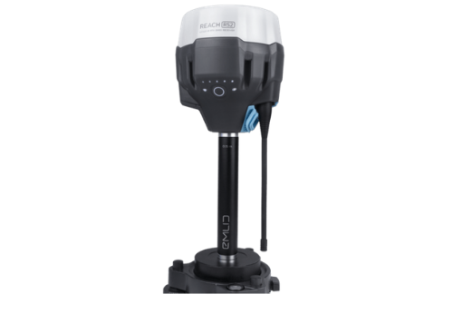
Emlid Reach RS2

CARNDL owns one EMLID Reach RS2 GNSS unit, a multi-band GNSS RTK receiver with centimeter-level precision. The Reach is intended for use in surveying, mapping and navigation, and is most often used for the logging of ground control points (GCPs), which assist in heightening the accuracy and precision of mapping data gathered by drones in the field. The Reach comes with a carrying case and antenna, as well as a survey pole for data logging. The Reach is compatible with the EMLID Reach App, which works best on iOS.
